Ryan Cooper
Mapbox Open Data Research Internship Application
Mapbox Open Data Research Internship Application
When I read the announcement for the open address research internship a few weeks ago, I had mixed-feelings. On one hand I was excited. This position looks like a great opportunity to face the noble challenge of opening up the data silos dotting server rooms, desks, laptop bags, key chain thumb drives, etc. around the world. I was disappointed because this position is an internship. I already have a good job doing mapping work for the public and according to most career path narratives, seeking an internship would be a backwards move. It would mean moving from a stable job to a short-term position with no guarantee of anything beyond. The rationalist voices in my head were screaming, "It's just not practical!" Nonetheless, I am compelled to apply for this open data internship. Why?
First, I have parallel passions for geography and language. It's why in my undergraduate work at Ball State University I double-majored in geography and German. While my career path has leaned more towards the geography, my interest in languages remains unabated. This internship would allow me to again reunite my dual passions for language. I think my German experience and general curiosity for language would prove beneficial in carrying out the international scope of the open addressing research project.
Secong, open data are of sincere interest to me. I work in a government office where our data are sold to the public by the acre. We charge citizens for data about their own property! I've talked to neighboring municipalities about acquiring simple parcel data only to be told my options were to pay for a digital copy or come to their office and look at their computer screen. And when I express the curiousness of these closed-data situations, there is little sense of urgency to seek an alternative.
While I am committed to the slow process of bringing incremental change in my office's data policy, given my position as GIS Technician, it may be quite a while before I can really help alter the data conversation. In the meantime, I get my open data fix by contributing regularly to OpenStreetMap. Thus much of my interest in in this internship stems from the opportunity I see to contribute on a grander scale to the open data movement and to work with people who feel similarly passionate about the importance of open data.
Finally, I'm a work in progress. My programming skills, GIS knowledge, and data wrangle-fu have grown by leaps and bounds in the past couple of years. I've learned enough to know that there is a ton about digital mapping design, and data that I don't know. No matter what my University of Kentucky diploma says, I'm a master of nothing. Indeed, I've barely scratched the surface, but I want to dig deeper. Mapbox is known for surrounding itself with talented people who excel in a variety of fields. I look at this internship as an opportunity to feed off the collective knowledge of the Mapbox staff and develop further as a professional.
For whomever you ultimately decide to offer this internship position, I know it will be a great experience. And while my current work situation perhaps makes me an odd candidate for this internship, I hope you'll take some time to look over the application materials included on this webpage. I would relish the opportunity discuss how I might be able to work alongside the Mapbox team in contributing to the open address research project. If you have any questions, don't hesitate to contact me. Thank you for your time and consideration.
Maintained local thematic and parcel datasets for Scott County, collaborated with citizens, business partners, and public officials to create custom print and web map products, designed and maintained new GSCPC website, examined and signed off geographic accuracy of developer site plans, worked with planners to develop and visualize a proposed county-wide trail network, presented on web mapping at professional conferences
Mapped installation and removal of electric service and meters in the Lexington and Midway KU service areas, insured service location and connectivity accuracy by synthesizing information from field work and online research, adhered to departmental best practices to maintain consistency in LG&E-KU's distribution databases, logged and distributed completed work requests to appropriate colleagues, developed browser tool to accelerate the input of common text strings
Led weekly discussion sections and provided individual support for introductory GIS/digital mapping courses, provided technical support for undergraduate/graduate students involved in GIS-based community partnership projects, developed and coordinated course curriculum in cooperation with fellow teaching assistants and professors
Led weekly lab and provided individual support for introductory physical geography class, developed supplemental academic materials for students
Assisted clients with course work for undergraduate physical and human geography courses, assessed client progress, adapted tutoring sessions based on client progress and learning style
Developed Access-based media library check-out system, maintained media library, edited and created content for quarterly newsletter
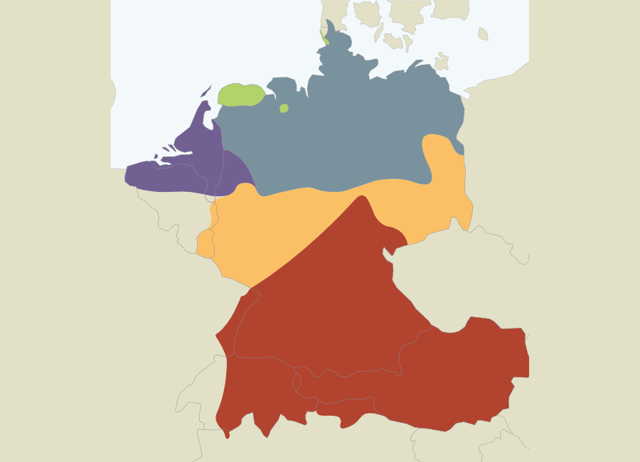
I've worked quite a bit with TileMill in the past, but the was my first deep dive into Mapbox Studio. As a GIS technician for a local planning authority, the day-to-day mapping I do entails an attention to locational accuracy and precision in the characterization of map features. I'm increasingly intrigued by the communicative potential of generalization in reference maps. At the same time, I've been inspired by the communicative power of flat design. In its bold simplicity, flat design helps you say exactly what you need to say without a lot of clutter. This map was my attempt to bring the fresh colors and thick features often times seen in flat design.